

Bois de Renimont
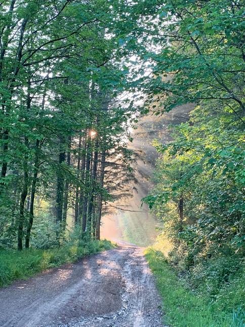
The walk goes mainly through forest (all tree species) with some meadows around the village of Smuid. The walk starts along the river Lhomme then follows a small valley and a stream to the village of Smuid. The village sits on a hill overlooking the St Hubert Mountains. The architecture is quite homogeneous (mainly houses in local stone). The walk continues partly on a concrete road before arriving at the place known as "du kaolin" (picnic site). The walk continues alternately through forest edges and deciduous forests. There are clear views of Libin and the forests beyond. We then reach the old bed of the local tram and a small valley with some ponds at the end of the walk and the remains of an abattoir. The first half of the walk is uphill and hilly, while the second half is flat and downhill.
This walk is marked on the map of walks in Saint-Hubert, available for €8 at the Maison du Tourisme de la Forêt de Saint-Hubert.
Beacon: red horizontal rectangle
Reception

Difficult


